Balade à vélo Hirel
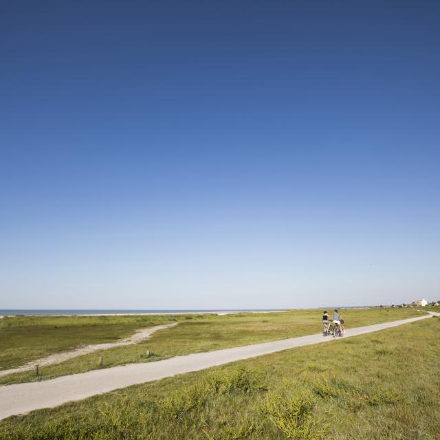 Balade à vélo Hirel
Pure cycling pleasure!
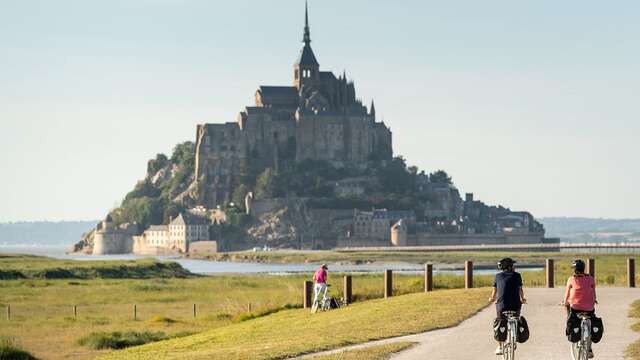
Here’s a really lovely ride this 20km bike ride.
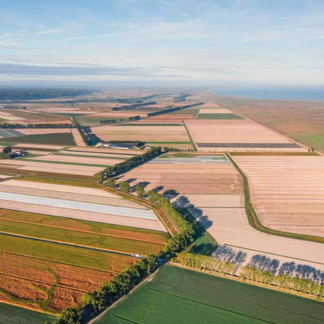
Yes you won’t see the miles go by, firstly because it’s all flat and then above all because you’ll get an eyeful. Marshes, biez, greenway, Mont Saint Michel, crops in shambles …
La voie verte, kingdom of the cyclist
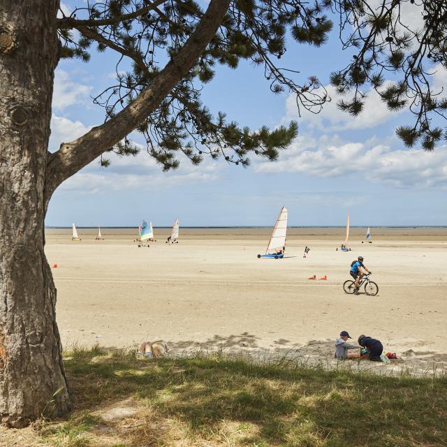
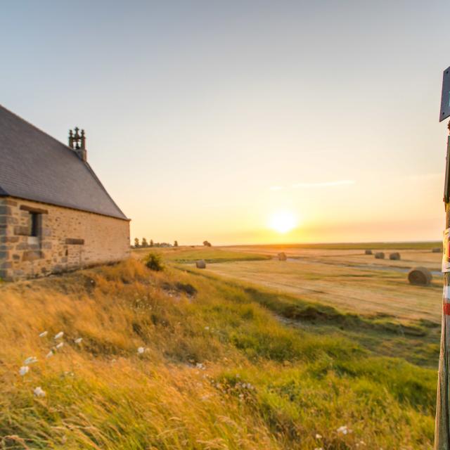
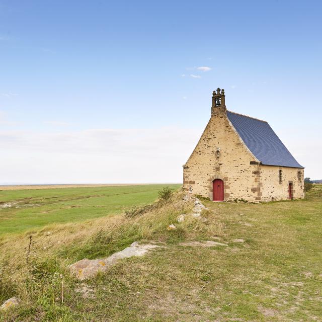
On the seafront, take in the sea air between a visit to the Moulin de la Ville Es Brune and a stop off in the small market town of Hirel to discover sand yachting. The Bay of Mont Saint Michel, a UNESCO World Heritage site, is one of the most beautiful bays in the world, so make the most of the exceptional panoramic views.
 Balade à vélo Hirel
 Balade à pied et repos sur la plage - Hirel
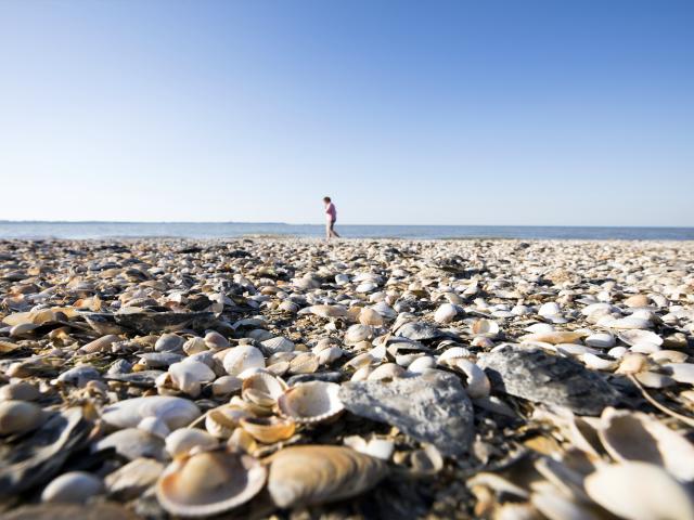 Balade à pied Baie Hirel